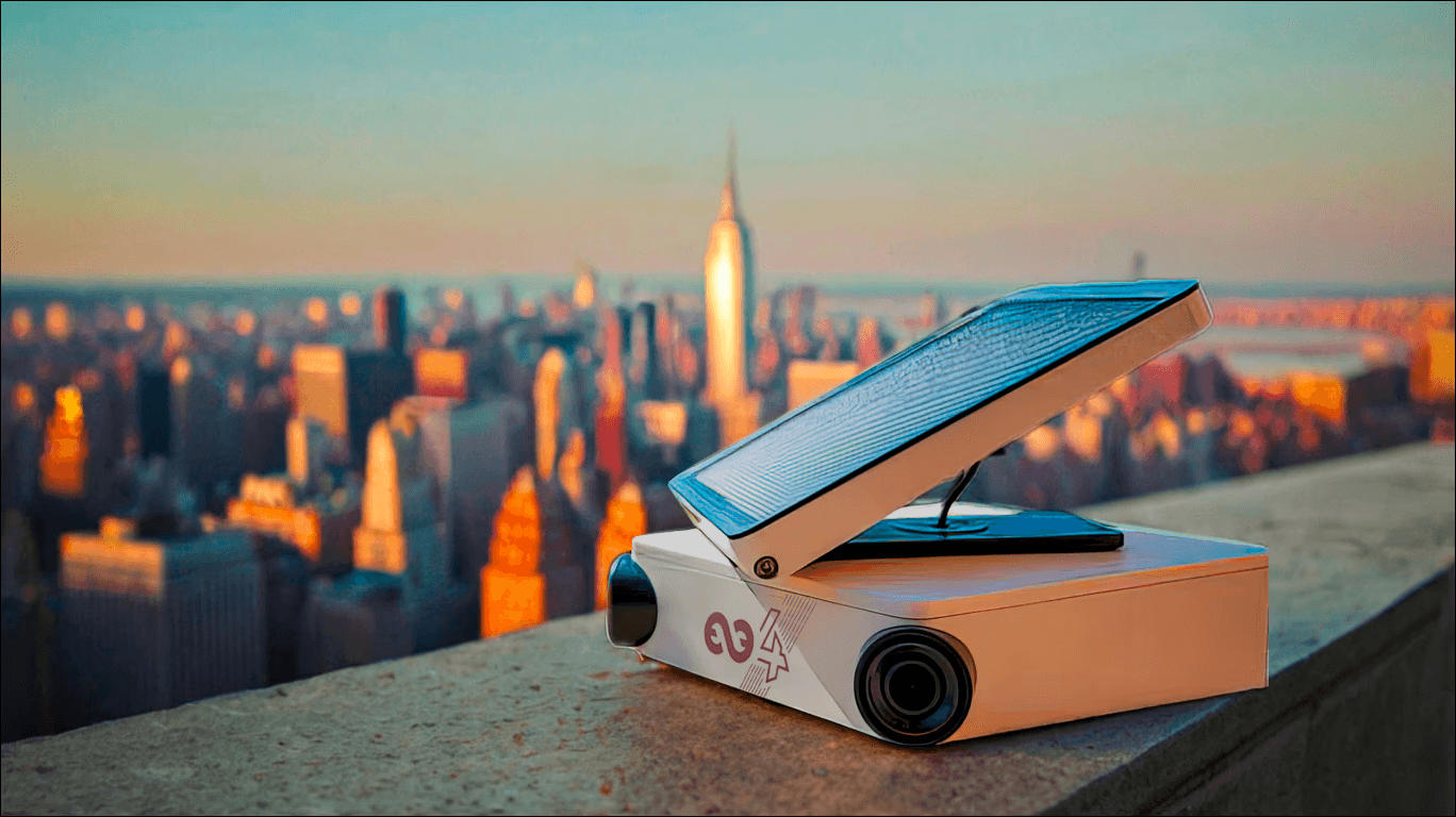
AI serving smart cities
Artificial intelligence is revolutionizing urban environments by optimizing project tracking and urban infrastructure management. Thanks to image analysis, it captures and decodes the evolution of urban environments, providing valuable information for effective smart city planning.
💡
Key Takeaways - AI for Smart Cities
Data-Driven Urban Infrastructure: AI-powered image analysis tracks mobility trends, peak activity hours, and congestion zones to help city planners optimize public spaces and infrastructure.
Adaptive Traffic & Transit Flows: Automatically analyzes traffic patterns to improve overall urban circulation, adjust traffic light management, and refine public transit routes.
Smart Parking Management: Monitors car and truck parking space availability in real time, helping to decrease street congestion and maximize urban space utilization.
Infrastructure-Free Deployment: Tikee cameras provide 6K 220° panoramic views and live streaming with 100% solar autonomy, making them easy to install anywhere across the city without heavy wiring or groundwork.
AI Analytics with Strict Privacy: The myTikee platform automatically detects vehicles, machinery, and pedestrian flows while utilizing advanced masking algorithms to guarantee full GDPR compliance in public areas.
The advantages of our solution for a smart city
Optimize infrastructures
Integrating AI into an image capture solution provides a unique opportunity to perform predictive analysis. Enlaps' algorithms analyze the flow of people and transportation, providing crucial data on mobility, peak activity, and congestion zones.
Adapt urban traffic flows
From the captured images, AI enables the deduction of traffic patterns, thus facilitating urban planning, traffic light management, and public transport route optimization. These data contribute to improving traffic flow.
Improve parking management
Another promising use of AI in this context: car park space monitoring. Image analysis determines the availability or occupancy of spaces, reducing congestion and optimizing parking space utilization.
SMART CITY
Analyzing traffic flow to optimize urban planning thanks to the Tikee Solution.
Discover how we leveraged visual data from Tikee cameras to better understand mobility patterns and adapt public infrastructure accordingly, in a large city.
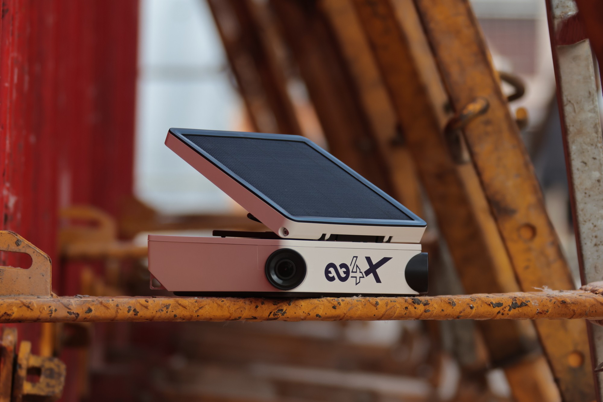
Tikee camera features
100% connected and remotely accessible
100% autonomous thanks to the integrated solar panel
Installation without infrastructure
6K 220° panoramic photos
On-demand live video (livestreaming)
Weatherproof IP66
Learn more about Tikee cameras
myTikee cloud platform features
Detection and identification of vehicles, machinery, people, and verification of PPE wearing by Enlaps AI algorithms
Reporting and dashboards
Mask or blur areas or people in photos to comply with GDPR.
Your points of view gathered and updated on the same page: the Control Room
Share your content via private links, iframes, JSON.
ENLAPS SHOP
The camera and the image processing platform


Made in France · Express Shipping · Trade-In Offer
Use Cases
Smart city
How to adapt infrastructures to population flows?
How to provide real time data on truck parking space availability?
QUOTATION
Get a quote for your project
Describe your project, and an expert will send you a detailed quote: equipment, myTikee subscription, installation, and duration of use.
Response within 48 business hours